

Assisi
Assisi is a small medieval town of about 25,000 people perched on a hill in Umbria, central Italy. It is best known as the birthplace of St. Francis of Assisi—patron saint of Italy, founder of the Franciscan order, and one of the most popular Catholic saints in history. Assisi's main attraction is the 13th-century Basilica of St. Francis, which contains the sacred relics of Francis and beautiful frescoes of his life. And there are at least seven other churches well worth visiting for their history, beauty, and connection with Francis or his friend Clare.
Assisi is still much as it was during the days of its favorite son, who was born here in 1182, son of a wealthy cloth merchant. Shrines to the beloved St Francis are dotted throughout the town, including the humble hermitage where he came for peace and meditation.
Yet being the home of St. Francis is only part of Assisi's appeal. With its narrow, winding streets, stone houses and piazzas filled with flowers, it has been designated a UNESCO World Heritage site for its significant influence on art and architecture. Other highlights of the town include a 14th-century fortress, Rocca Maggiore, offering stunning views of the valley below, and the Chiesa di Santa Chiara, a 13th-century church dedicated to the founder of the Order of Poor Ladies.
Bounded by fortified walls, Assisi is located in the verdant region of Umbria, known as 'the green heart of Italy', and is easily reachable from Rome. Its festivals, shops, excellent restaurants, monuments, panoramic views and the landscapes of Umbria attract tourists from all over the world.
Trans-Danube
The Trans-Danube refers to the area of land located on the eastern side of the Danube River. The term is often used in a historical context, such as referring to the regions of the ancient Roman provinces located to the east of the Danube River.
The territories of the modern-day countries of Hungary, Slovakia, Serbia, Romania, Bulgaria, Moldova, and Ukraine have been classified under the Trans-Danube region. In ancient times, the area was heavily influenced by various different civilizations, including the Romans, Huns, Goths, and Ottomans.
The Trans-Danube's rich history has led to a diverse mixture of cultures and languages in the region. It also has a varied geography including mountains, forests, and plains, as well as the critical waterway of the Danube River itself. The region has been critical to trade and transport throughout history and remains a significant geographical area in Eastern Europe.
In fact, historically, the area was a part of the Roman Empire's defense system known as “Limes Romanus”. The region was heavily fortified with structures like forts, towers, and walls. These defensive structures were designed to guard against invasions from various tribal groups.
The term can also refer to the area of Budapest, the capital of Hungary, which is located on the eastern side of the Danube River. The city is traditionally divided into Buda and Pest, with the former on the west bank and the latter encompassing the area on the east bank referred to as the Transdanubia.
Aszár
Aszár is a small village located in the Komárom-Esztergom county, which is in the northern region of Hungary. The village sits adjacent to the river Garam, close to the border with Slovakia, and is nestled amidst a landscape marked by vineyards and beautiful hilly terrains. The population of Aszár is relatively small, with around 500-1000 residents.
The village is steeped in history, dating back to Roman times. It is home to the ruins of a Medieval castle called Aszár Castle, which is situated on Castle Hill and once served as a significant fortification during Middle Ages. This castle ruins is a popular tourist attraction, in significant part due to its stunning views of the surrounding area.
Other local attractions include the Romanesque Church of St. Michael, with frescoes and a wooden carved altarpiece that have been significantly restored. Also, there is an old wine press house displaying the traditional method of wine making, another evidence of the village's deep-rooted wine cultivation tradition.
Community life in Aszár is largely characterized by agricultural activities, specifically viticulture and farming. The local wine production is significant in maintaining the village's economy and cultural character. Despite the small population, there's still a strong sense of community among the villagers, with yearly festivals and events celebrating their traditions and heritage. Aszár is also noted for its unspoiled natural beauty, making it an attractive destination for those seeking tranquility away from the bustling city life.
Atina
There are different ways to interpret your query about "Atina." It could refer to a town in Italy, a celebrated figure in Greek Mythology, or even a modern-day name for a girl. Depending on which interpretation you intended, here are brief descriptions for each:
1. Atina: A Town in Italy
Atina is a charming, historical town located in the province of Frosinone, in the Lazio region of central Italy. It's known for its medieval architecture, stunning landscapes, vineyards, and olive groves. The city's rich history dates back to pre-Roman times, and it was an important center during the Roman era as well. It is now a popular tourist destination owing to its history, beauty, and local cuisine.
2. Athena (also spelt as Atina in some cultures): Greek Mythology
Often referred to as Atina in Eastern European cultures, Athena is a key figure in Greek mythology. She is the goddess of wisdom, courage, inspiration, civilization, law and justice, strategic warfare, mathematics, strength, strategy, arts, crafts, and skill. She is known for her calm temperament, and she only fights for just causes and never without a purpose.
3. Atina: A Girl's Name
In modern usage, Atina may be used as a girl's name. While its origin is not specifically known, it is considered unique and distinctive. People named Atina are often believed to have a deep desire for knowledge and truth, are quick-minded, creative, and like to be involved in many activities.
North Island
North Island is one of the two main islands of New Zealand, the other being the South Island. It's the smaller of the two but has a larger population. Major cities, including Wellington (the capital) and Auckland (the largest city), are located on the North Island. English and Maori are the two main languages spoken here.
The North Island is known for its vibrant cities, stunning coasts, thermal wonders, and Maori culture. It is geographically diverse with everything from beautiful beaches and volcanic landscapes to lush forests and bustling metropolitan areas. The island's center is dominated by the Volcanic Plateau, an active volcanic region that includes Lake Taupo, the country's largest lake.
Significant attractions include the island's wine regions, the geothermal area around Rotorua, the Bay of Islands, Tongariro National Park, and the iconic Hobbiton Movie Set from "The Lord of the Rings" film franchise.
The climate on the North Island is generally warmer and milder compared to the South Island, with a subtropical climate in the far north and a temperate climate in the rest of the island. The North Island is a major economic center of New Zealand with key industries like finance, information technology, tourism, and film production.
Oceania
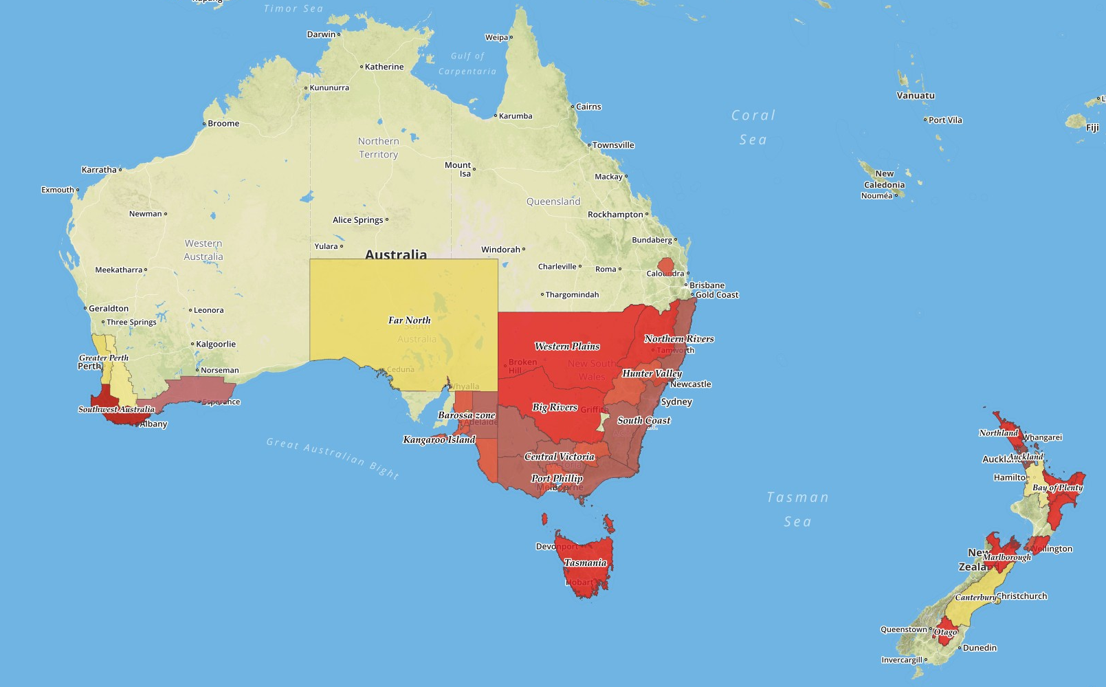
Oceania is a geographic region that includes Australasia, Melanesia, Micronesia and Polynesia. Spanning the eastern and western hemispheres, Oceania has a land area of 8,525,989 square kilometers and a population of over 41 million.
When compared to continents, Oceania is the smallest in land area and the second smallest in population after Antarctica. Oceania has a diverse mix of economies from the highly developed and globally competitive financial markets of Australia and New Zealand, which are ranked 13th and 51st in the world, to the much less developed economies that belong to many of its island neighbors.
The region is one of the most linguistically diverse in the world as well, with more than 1,100 languages spoken. The climate of Oceania's islands is mostly tropical or subtropical, and the region is home to a rich variety of plant, animal, and sea life.
Australia, the largest landmass in the region, is highly urbanised, and has several well-known global cities such as Sydney, Melbourne, Brisbane, and Perth. Australia also has a high standard of living, with the world's tenth-highest per capita income.
New Zealand is known for its stunning landscapes, including mountains, beaches, forests, and lakes, and its indigenous Maori culture. Both Australia and New Zealand have strong economies and are major players in the region.
The smaller islands and archipelagos of Oceania, many of which are known for their white-sand beaches, clear waters, and diverse marine life, include nations such as Fiji, Papua New Guinea, Samoa, Tonga, and Vanuatu.
Aversa
Aversa is a town and commune in the Province of Caserta, situated in the Campania region of southern Italy. It is located about 5 km north of Naples and 20 km south-east of Caserta. It covers an area of approximately 8.64 sq miles and houses a population of around 53,000 people.
The town is mostly known for its rich medieval history, with many examples of well-preserved buildings from that era. Amongst the main sites of interest, the Cathedral of Aversa, founded by Norman count Roger II of Sicily, is the oldest cathedral of its kind in the whole region. Aversa is also home to the Church of Santa Maria a Piazza, which features a unique combination of Romanesque and Baroque architectural styles.
In terms of economy, Aversa is known as a residential and industrial hub in the region. It offers numerous educational institutions and health and social services. Despite being a hotspot for tourism, especially for history enthusiasts, Aversa has experienced several challenges related to urban planning and waste management.
Moreover, Aversa is recognized for its correctional facilities. The town's mental hospital, Ospedale Psichiatrico di Aversa, that served as a prison and insane asylum in the past, is notably infamous.
In recent history, Aversa was noted for its strategic importance during World War II. Today, it stands as a testament of the rich cultural history of the Campania region.
Dobrudja
Dobrudja, also known as Dobruja, Dobrogea, or Dobroudja, is a historical region located in Eastern Europe, shared by both Bulgaria and Romania. It is bounded by the Black Sea in the east, the Danube River in the north and west, and the Balkan Mountains in the south.
The region covers a total area of about 23,000 square kilometers, of which approximately 15,500 square kilometers belong to Romania and the rest to Bulgaria. It is known for its diverse landscape, which consists of steppe, forests, plateaus, and wetlands.
Dobrudja has a rich history, with evidence of human habitation dating back to the Paleolithic age. It was once home to various ancient civilizations including the Thracians, Romans, Goths, Huns, and Ottoman Turks. As a result, the region is dotted with important archaeological sites, historical landmarks, and cultural monuments.
The region's economy is dominantly agricultural, with widespread cultivation of grains, vineyards, and fruit trees. Fishing, beekeeping, and growing of silkworms are other important activities. Despite its economic potential, Dobrudja is one of the poorest areas in both countries.
Ethnically and culturally, Dobrudja is very diverse, with Romanians, Bulgarians, Turks, Tatars, Russians, and other ethnic groups living in the area. This has resulted in a rich multilingual and multicultural environment.
Dobrudja also boasts of its diverse flora and fauna, including several endangered species, making it an important location for environmental conservation. The Danube Delta, which lies in the region, is a UNESCO World Heritage Site and one of the largest and most well-preserved wetlands in the world.
Babadag
Babadag is a town situated in Tulcea County, in the Northern Dobruja region of Romania. It’s located between the Danube and the Black Sea, making it scenic with beautiful natural landscapes.
One of the main defining features of Babadag is its rich history. It was founded by the Romans and its name translates to "Grandfather mountain". The town has a significant Islamic influence, owing to the Ottoman rule. The Babadag Mosque, built in the 17th century, is one of the oldest Islamic places of worship in Romania.
Today, Babadag is known for its handicrafts, particularly its carpet weaving. The town is multicultural, with the population consisting of Romanians, Turks, Tatars and Roma, all of whom contribute to its unique cultural heritage.
Babadag Forest, which is a nature reserve, is one of the popular attractions, offering breathtaking views and trails for hikers. Moreover, the town annually hosts the Babadag Festival, which showcases traditional music and dance, and attracts tourists from around the country.
Despite its small size, Babadag is a place of diverse cultures, scenic beauty and rich history.